

By Talbert Toole
Lifestyles Editor
talbert.toole@hottytoddy.com
On the eve of midterm elections, members of the LOU community and surrounding areas can expect harsh weather that includes hail, rain and the possibility of tornadoes.
The National Weather Service reported early Monday morning that Oxford is in the center of the greatest tornado potential area. Reports indicate severe thunderstorms will develop ahead of a cold front that will move across the Mid-South and eventually hit the Oxford area.
According to NWS’ meteorologist Samantha Wright, the Oxford area can expect inclement weather to hit around 3 p.m.
Wright said Oxford is in an enhanced risk area, and the NWS considers it to have the greatest tornado potential out of the three zones mapped for the Mid-South.
The impending weather can include hazardous, large hail and damaging winds, Wright said.
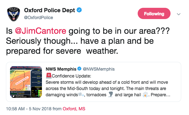
Although the rain is not supposed to hit the Oxford area until 3 p.m., Oxford Police tweeted at 10:58 a.m. advising residents to have a plan for the severe weather.
The Emergency Management Agency for Lafayette County provides a shelter map for area residents in case of emergencies such as tonight’s possible severe weather. The shelters are small concrete structures that hold up to 12 people, said Steve Quarels, EMA director for Lafayette County.
Quarles said the shelters are open and ready for residents to use.
For more information for tonight’s severe weather, visit the NWS Forecast.