

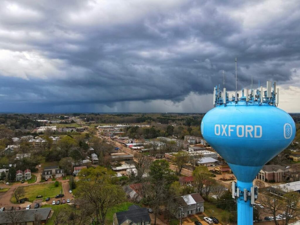
Despite Lafayette County being marked by the National Weather Service as “high risk” for severe weather during Wednesday’s storm, no tornado warnings were issued and no damage has been reported, according to officials.
The worst of the storms passed south of Oxford. About two inches of rain fell throughout the day, with about an inch falling during the morning storms and another inch around 8 p.m.
A tornado watch was issued by the NWS through midnight, but was canceled at 8 p.m.
Lafayette County Emergency Management Director Steve Quarles said county road crews responded to one tree down.
“All I’m aware of is one tree that had previously been marked to be removed because of its condition,” he said Thursday morning. “Outside of that, our office has not been notified of any damage.”
The University of Mississippi closed the campus at 3 p.m. due to the threat of severe weather and the Mississippi State Department of Health closed the COVID-19 vaccination site in Oxford. Local schools remained open.
As of this morning, the NWS reported two tornadoes did touch down in other parts of Mississippi, with six in Alabama and one in Louisiana. No injuries have been reported.
The storm system moved east and is expected to bring severe weather to the southeast coast, from North Carolina to Georgia this afternoon.
Wednesday’s storms brought in a cold front to Lafayette County. The high for today and Friday is expected to be about 50 degrees with lows in the upper 30s. Temperatures will gradually increase over the next few days, with sunny skies through at least Monday.


