
By Alyssa Schnugg
News editor
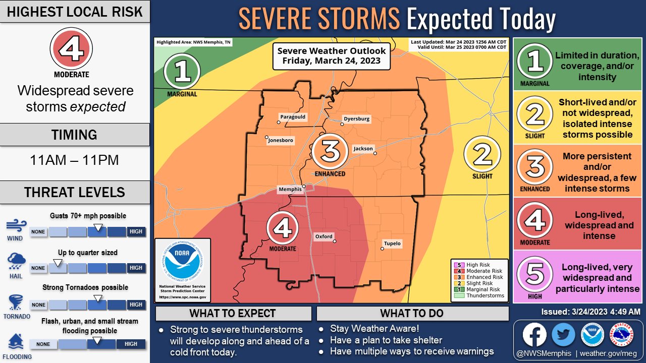
The National Weather Service has upgraded Lafayette County’s chances for severe weather later today.
On the NWS’s Severe Weather Risk 1 to 5 scale, Lafayette County is now a 4, or a Moderate Risk.
Rain is expected to roll into the area this afternoon; however, the worst of the storms are expected in Oxford from 6 to 10 p.m.
Tornadoes, damaging winds, large hail and locally heavy rainfall are all possible.
The NWS has issued a Wind Advisory for our area from 1 p.m. today through 3 a.m. On Saturday.
Winds are expected to be around 20 to 30 mph with gusts up to 45 mph.
The gusty winds could blow around unsecured items and tree limbs could be blown down, knocking down powerlines.
The storms are associated with a cold front that will cool off temps slightly for the new few days, bringing the high back down next week to the high 60s with lows in the high 40s.


