

By Alyssa Schnugg
News editor
alyssa.schnugg@hottytoddy.com
Lafayette County will see typical summer weather for July this week, which means it’ll be hot – just maybe not “Excessive-Heat-warnings-every-day” hot.
The National Weather Service has not forecasted a lot of rain or storm activity for this week, which is good news for those still dealing with fallen trees and limbs from Saturday’s thunderstorms.
Monday’s high is expected to reach 94 degrees with about 50 percent humidity, keeping the heat index values close to the actual temperatures.
Tuesday is expected to reach 96 degrees; however, slightly higher humidity could make it feel closer to 101 degrees.
After a 30 percent chance of some showers and possible thunderstorms on Wednesday, the highs for the rest of the week are expected to be around 93 degrees through Sunday.
As of Monday, the National Weather Service has not issued any heat advisories for today and Tuesday.
North Mississippi weather is fickle and sometimes changes by the hour. The chance of rain and thunderstorms on Wednesday could increase over the next two days.
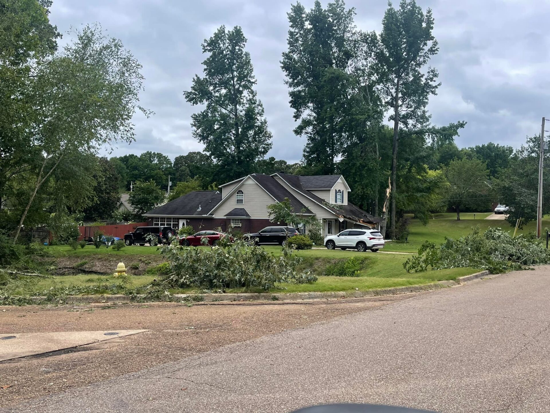
Saturday’s storms rolled in quickly in the afternoon, toppling several trees and breaking off large limbs around parts of Oxford and Lafayette County.
Oxford Utilities reported several power outages Tuesday afternoon due to the storm that affected more than 800 customers.
Trees and lines were knocked down in the South Oaks subdivision, along Clubhouse Road, Hollis Hill and Provence Park.
Oxford Emergency Management Coordinator Jimmy Allgood and Lafayette County Emergency Management Director Steven Quarles both said as of this morning, they have not received any reports of homes being damaged during the storm Saturday.


