By Alyssa Schnugg
News editor
Just as the temperature started to warm back up, another cold front will cause temps to drop down again over the next few days.
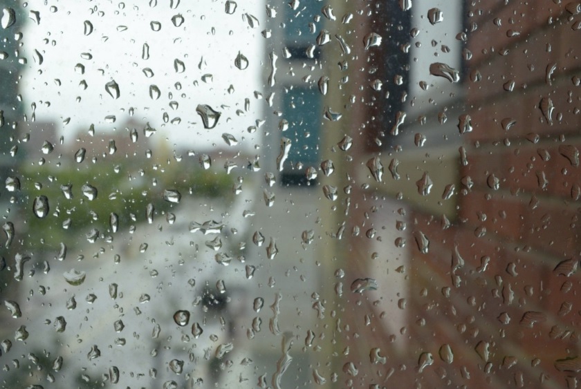
Showers and thunderstorms are expected tonight into Friday morning. While severe weather is not expected by the National Weather Service at this time, winds could gust up to 35 mph tonight.
The rain will continue Friday before tapering off in the afternoon.
The high on Friday should hit about 49 degrees and then drop to 32 degrees at night. Winds will continue to be breezy at 15 mph with gusts up to 25 mph as the front moves through the area.
Saturday should be sunny but chilly with a high near 51 and the low dropping to 28 degrees Saturday night. Sunday will be even colder with the high reaching just 44 and the low Sunday night around 25 degrees.
Expect Freeze Warnings Saturday and Sunday evenings.
Temperatures should gradually increase next week.
No watches or warnings have been issued for tonight or Friday as of noon Thursday; however, Hotty Toddy News will post any weather-related updates on its website, Facebook and Twitter.


